I am text block. Click edit button to change this text. Lorem ipsum dolor sit amet, consectetur adipiscing elit. Ut elit tellus, luctus nec ullamcorper mattis, pulvinar dapibus leo.
Army Geospatial Center
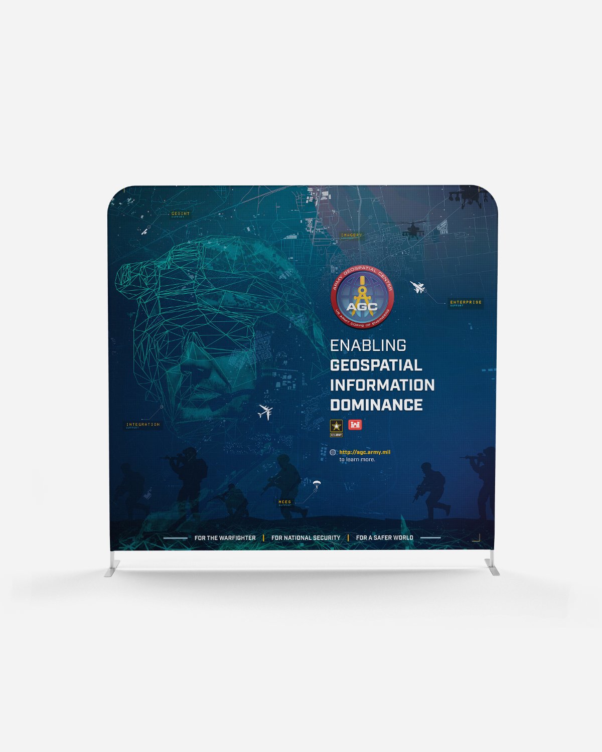
The Army Geospatial Center leverages cutting-edge geospatial technologies to provide actionable intelligence and support to military operations worldwide. They specialize in geospatial analysis, mapping, and terrain data to enhance situational awareness and decision-making for military commanders.
Task
Provided comprehensive creative services, including developing marketing and advertising materials, to support AGC's nationwide marketing and sales efforts for critical technical positions.
Lorem ipsum dolor sit amet, consectetur adipiscing elit, sed do eiusmod tempor incididunt ut labore et dolore magna aliqua. Mi ipsum faucibus vitae aliquet nec ullamcorper sit amet. Odio euismod lacinia at quis risus.
Highlights
The Army Geospatial Center (AGC) stands as the premier institution driving geospatial intelligence (GEOINT) innovation and excellence within the U.S. Army. With a rich history of expertise and a forward-looking approach, AGC serves as the cornerstone of geospatial support for Army operations worldwide.
Contrary to popular belief, Lorem Ipsum is not simply random text. It has roots in a piece of classical Latin literature from 45 BC, making it over 2000 years old.
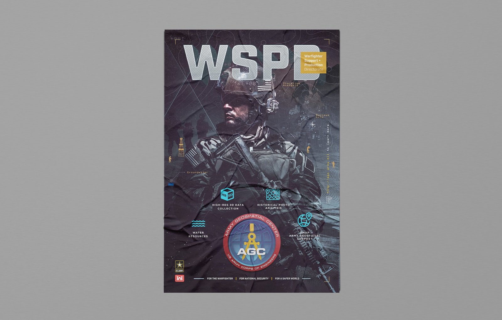
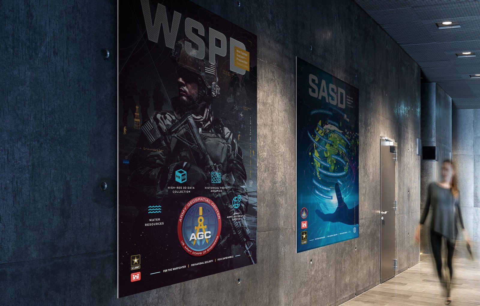
The Warfighter Support + Production Directorate (WSPD) is a division of the Army Geospatial Center focused on enhancing situational awareness, geospatial intelligence gathering, and mission effectiveness for warfighters across different branches of the military.
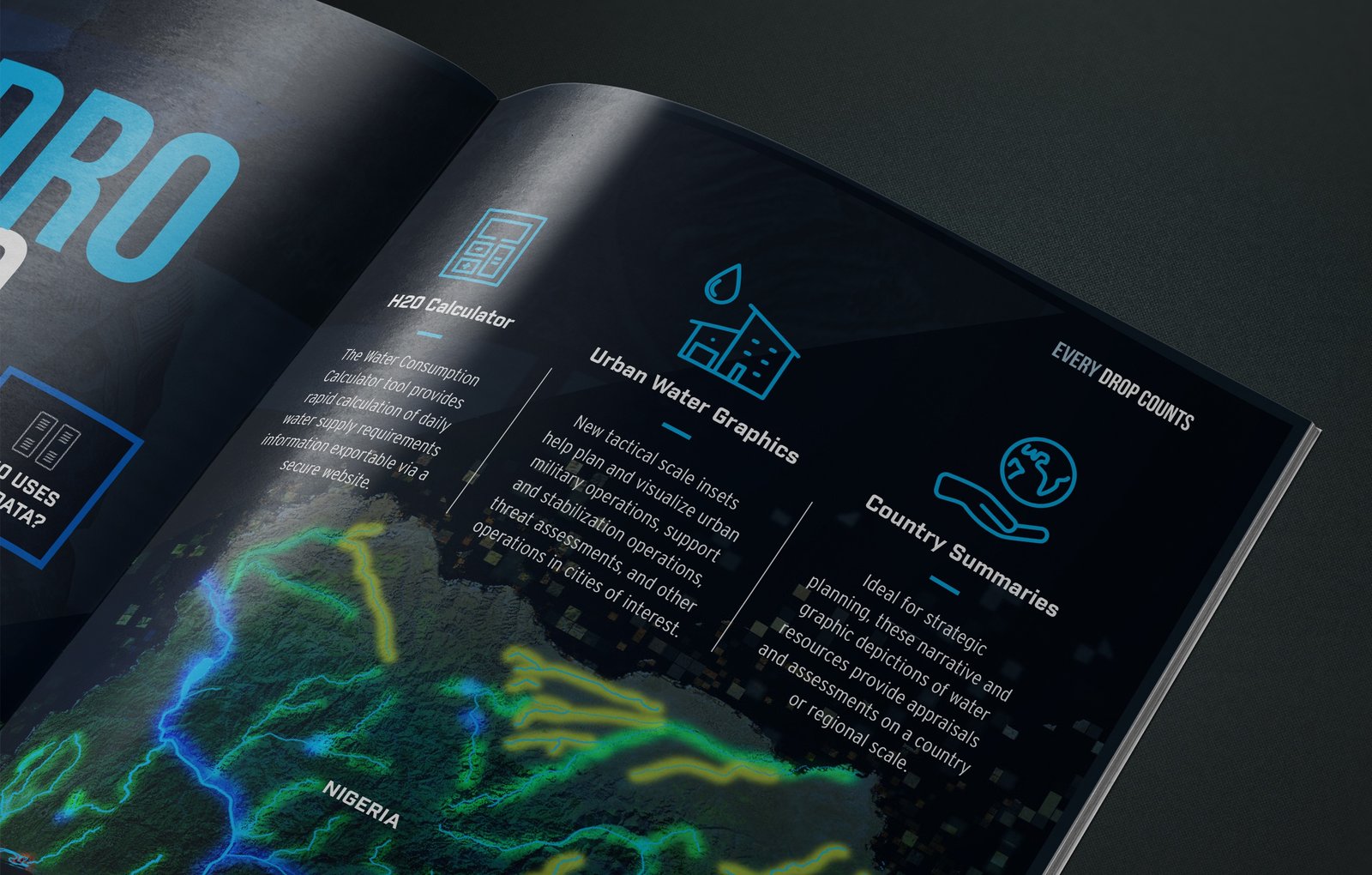
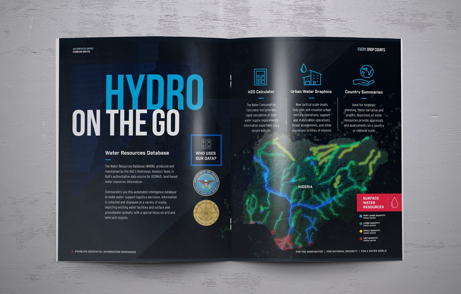
Water resources utilizes geospatial technologies and data to analyze water-related challenges to support decision-making for Army installations and operations worldwide.
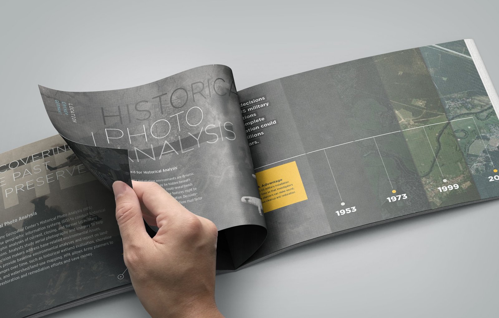
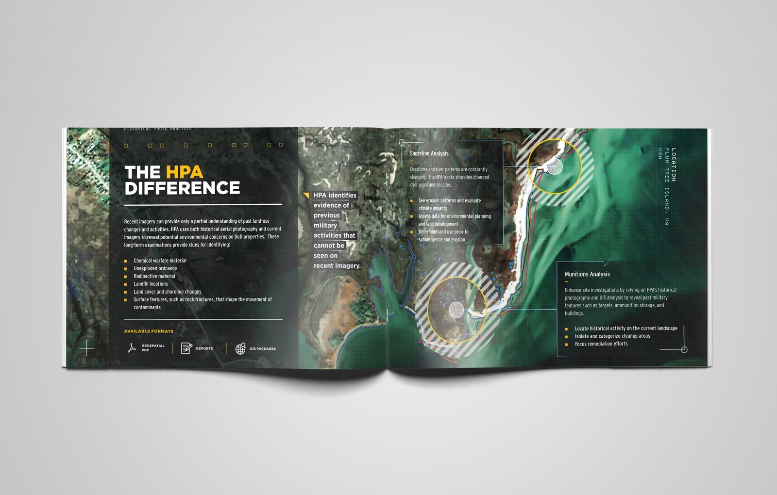
The Historical Photo Analysis group conducts detailed examination and interpretation of historical aerial photographs and imagery to gather intelligence, assess terrain changes over time, and support historical research and military planning.
I am text block. Click edit button to change this text. Lorem ipsum dolor sit amet, consectetur adipiscing elit. Ut elit tellus, luctus nec ullamcorper mattis, pulvinar dapibus leo.
The Systems Acquisition Support Directorate at the Army Geospatial Center works closely with industry partners and government agencies to procure and deploy advanced geospatial capabilities that enhance the Army’s intelligence gathering and mission planning capabilities. Their efforts contribute to providing cutting-edge geospatial solutions to support warfighters in various operational environments.
The AGE Node serves as a central hub for hosting, managing, and disseminating geospatial data to support Army operations and decision-making. It enables collaboration, interoperability, and secure access to geospatial information across the Army Geospatial Enterprise, enhancing situational awareness and mission effectiveness.
I am text block. Click edit button to change this text. Lorem ipsum dolor sit amet, consectetur adipiscing elit. Ut elit tellus, luctus nec ullamcorper mattis, pulvinar dapibus leo.
2x Bronze Honors
2x Bronze Honors
Direction
Shakir Babb
Art Director & Designer
Production
Nick B.
Designer


